The simplest and most convenient way of representing and storing the depth measurements taken from a scene is a depth map.
A depth map is a two-dimensional array where the x and y distance information corresponds to the rows and columns of the array as in an ordinary image, and the corresponding depth readings (z values) are stored in the array's elements (pixels).
Depth map is like a grey scale image except the z information (float - 32 bytes) replaces the intensity information.
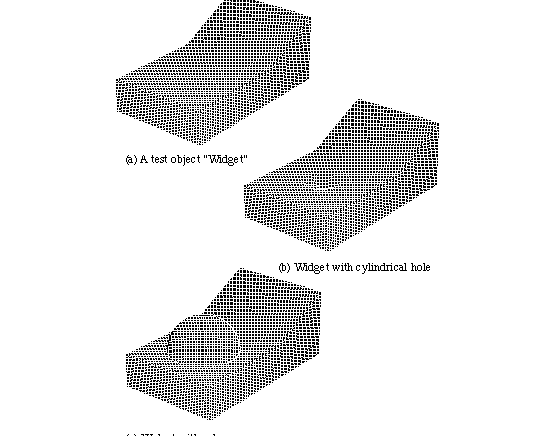
Fig. 3 Artificial depth maps
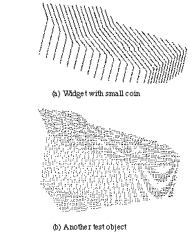
Fig. 4 Real depth maps